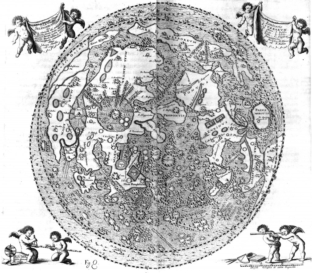
This map of the near side of the Moon was published in Johannes Hevelius’ 1647 book Selenographia. You might notice that it covers slightly more than one hemisphere. Hevelius recognized that the Moon librates (in both longitude and latitude) as it orbits the Earth, letting us peek at an extra 9% of its surface.
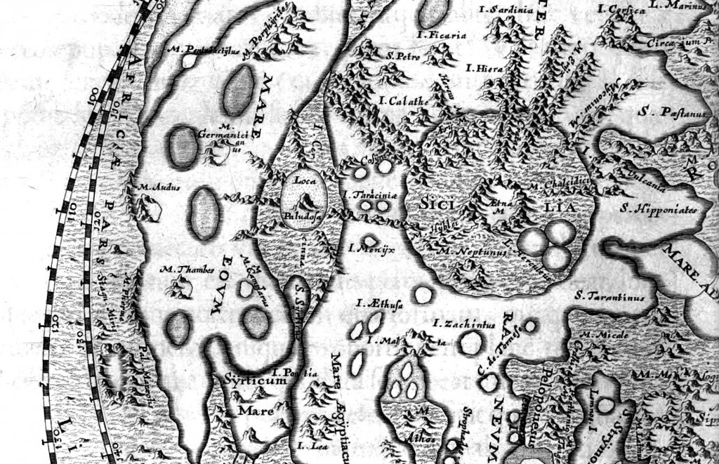
I love the detail on the mountains – it reminds me of Middle Earth, and really it’s only slightly less fictional (at least, compared to our observations today).
There’s a scanned copy of the whole book (in Latin) available online, but I found this version at higher resolution in the International Planetary Cartography Database. Curious about the names Hevelius uses? Check out this brief history of lunar nomenclature by thonyc, or Whitaker’s very thorough account in book form.


Thanks for the link.
No problem!
[…] week, while looking for the largest/clearest/awesomest version of the Moon map that I posted, I got totally sucked into the book in which it appears, the 1647 Selenographia of […]